Before GPS, ancient sailors crossed oceans using tools that seem impossibly simple today. From crystal sunstones to wave-pattern sticks, these ingenious instruments turned regional tribes into global sea empires by solving navigation’s deadliest mysteries.
1. Egyptian Merkhet: The Nile’s Star-Reading Plumb Line

Egyptian Merkhet
Egyptian priests used the merkhet—a simple palm-rib tool with a plumb line—to align temple construction with stars as early as 600 BCE, but sailors adapted it for Nile navigation during night voyages. Two operators sighted through aligned merkhets to track circumpolar stars, maintaining precise north-south bearings during the annual flood season when landmarks vanished underwater. The instrument consisted of a notched palm rib and weighted cord that cost virtually nothing to produce, yet enabled Egypt’s grain ships to transport 20,000 tons annually between Memphis and Thebes without modern maps. This humble tool made Egypt the Mediterranean’s first reliable long-distance shipping power by transforming astronomical observation into practical river navigation.
Source: britannica.com
2. Phoenician Lead Line: Mapping the Mediterranean’s Hidden Floor

Phoenician Lead Line
Phoenician sailors pioneered the sounding lead—a hemp rope with marked intervals and a hollowed lead weight filled with tallow—around 1200 BCE to safely navigate shallow coastal waters from Tyre to Carthage. The sticky tallow brought up seabed samples that experienced navigators read like fingerprints: black mud meant the Nile delta, white sand indicated Sicilian shores, and shell fragments warned of approaching reefs. Phoenician merchant ships carried lead weights ranging from 7 to 14 pounds, with ropes extending 120 fathoms for deep-water crossings. This deceptively simple technology created the Mediterranean’s first mental maps of underwater terrain, enabling Phoenicia to establish 300 trading colonies across 2,500 miles of coastline by identifying safe anchorages invisible from the surface.
Source: britannica.com
3. Greek Dioptra: The Ancient Surveying Computer
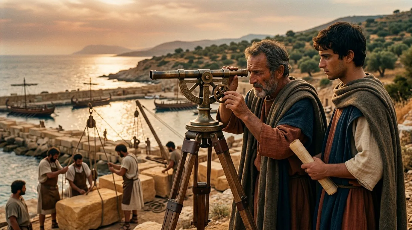
Greek Dioptra: The Ancient Surveying Computer
Invented by Hero of Alexandria around 100 BCE, the dioptra combined a sighting tube with a calibrated gear system to measure precise angles for coastal mapping and harbor engineering. This bronze instrument mounted on a tripod allowed Greek engineers to calculate distances across water without physically measuring them—essential for planning naval campaigns and estimating enemy fleet positions. The device featured a water-level trough for establishing true horizontal planes and a vertical semicircle marked in degrees, achieving accuracy within 1/60th of a degree according to surviving manuscripts. Rhodes used dioptra surveys to create the ancient world’s first accurate harbor charts, directly enabling their 400-ship navy to dominate Eastern Mediterranean trade routes from 300 to 168 BCE through superior knowledge of coastal geography.
Source: britannica.com
4. Polynesian Stick Chart: Reading Ocean Swells Like Sheet Music

Polynesian Stick Chart
Polynesian navigators wove coconut fibers and cowrie shells into mattang and meddo charts that represented wave interference patterns rather than geographic space, enabling voyages across 2,000 miles of open Pacific from 1500 BCE onward. These stick frameworks weren’t carried aboard canoes—they were teaching tools memorized before departure, with curved sticks showing how swells bent around invisible islands beyond the horizon. Master navigators could detect land 30 miles away by reading how waves reflected, refracted, and combined into distinctive patterns learned from the charts. This system helped Polynesians settle over 1,000 islands across 10 million square miles of ocean using only double-hulled canoes, creating history’s largest maritime empire by area without written language, metal tools, or magnetic compasses.
Source: smithsonianmag.com
5. Chinese South-Pointing Spoon: The Magnetized Fortune Teller

Chinese South-Pointing Spoon
Chinese fortune-tellers during the Han Dynasty (206 BCE to 220 CE) used lodestone spoons on bronze divination boards, unknowingly creating humanity’s first magnetic compass when they noticed the spoon’s handle always pointed south. The spoon’s rounded bottom allowed it to rotate freely on polished bronze, with the lodestone’s natural magnetization providing directional consistency that superstitious diviners attributed to spiritual forces. Chinese sailors adapted this sinan device for maritime navigation by mid-11th century, giving Song Dynasty naval forces a 400-year advantage over European fleets in open-ocean wayfinding. A single lodestone spoon could maintain accuracy for decades, transforming a mystical fortune-telling prop into the tool that enabled China’s 317-ship treasure fleet expeditions to Africa under Admiral Zheng He in the early 15th century.
Source: britannica.com
6. Islamic Kamal: The String-and-Board Latitude Calculator
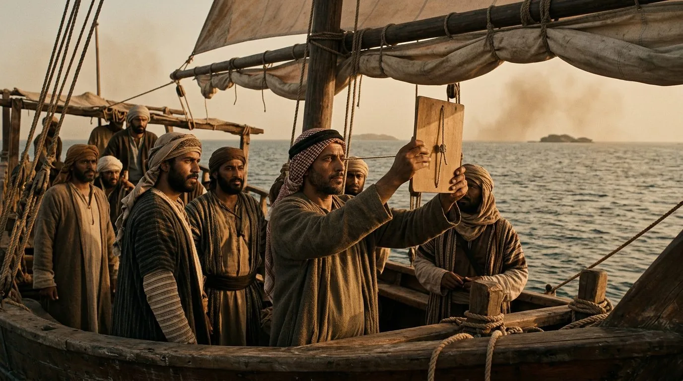
Islamic Kamal
Arab navigators invented the kamal around 900 CE—a rectangular wooden board with a knotted string—to measure star altitudes and maintain constant latitude across the Indian Ocean from Yemen to Sumatra. Sailors held the string in their teeth and moved the board until its edge aligned with both the horizon and Polaris, with each knot representing one isba (roughly 1.5 degrees) of latitude. This brilliantly simple device cost less than an hour’s wage to construct yet enabled merchants to cross 4,000 miles of open ocean by sailing east-west along known latitude lines, hitting tiny island waypoints with remarkable precision. The kamal directly powered the Islamic Golden Age trading network that moved Chinese silk, African gold, and Indian spices worth millions of dinars annually between 800 and 1200 CE through reliable celestial navigation.
Source: britannica.com
7. Viking Sunstone: The Crystal That Saw Through Clouds

Viking Sunstone
Viking sailors likely used calcite or cordierite crystals as sunstones to locate the sun’s position during overcast Arctic conditions, enabling their colonization of Iceland in 874 CE and Greenland by 985 CE when cloud cover blocked traditional celestial navigation. These transparent crystals exhibit strong polarization properties—when rotated against the sky, they create distinctive light patterns that reveal the sun’s direction even when hidden behind clouds or below the horizon during twilight. A laboratory test demonstrated that navigators using sunstones could determine solar position within 5 degrees accuracy under completely overcast skies, sufficient to maintain course across the North Atlantic’s 1,800-mile expanse. This crystalline technology gave Vikings a decisive advantage in northern waters where Mediterranean navigation methods failed, directly enabling their discovery of North America five centuries before Columbus through reliable polar route navigation.
Source: smithsonianmag.com
8. Medieval Marine Astrolabe: Brass Circles That Conquered Oceans
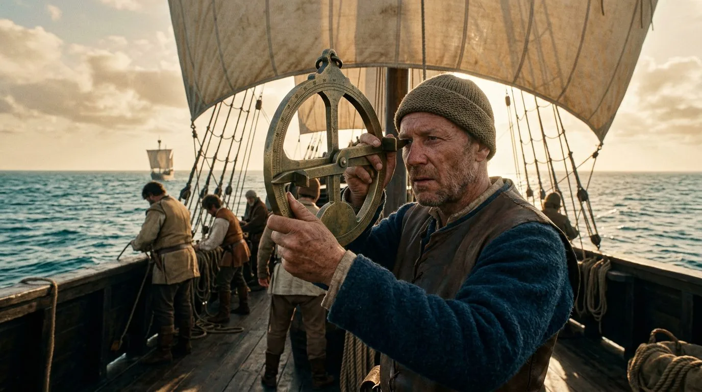
Medieval Marine Astrolabe
Portuguese shipwrights developed the mariner’s astrolabe around 1300 CE by radically simplifying the Islamic astronomical astrolabe—removing delicate components and adding ballast weight to create a brass ring that could measure star altitudes from rolling ship decks. Unlike its land-based predecessor with intricate moving parts, the marine version featured a heavy suspended ring with a rotating alidade that sailors sighted through to measure the sun or stars above the horizon. This stripped-down design sacrificed the land astrolabe’s complex calculation abilities but gained rugged reliability, enabling Portuguese navigators to determine latitude within 30 miles anywhere on Earth’s oceans. The instrument directly powered Portugal’s maritime empire from the early 15th century to the late 16th century, when their navigators used astrolabe measurements to establish the first direct sea routes to India, Brazil, and Japan, transforming a small European kingdom into a global trading power controlling 53 colonies.
Source: britannica.com
9. Portuguese Cross-Staff: The Geometric Star Measurer

Portuguese Cross-Staff
Portuguese sailors adopted the Jewish cross-staff (ballestilha) around 1450 CE—a cruciform wooden device with a sliding crosspiece that measured angular distances between celestial bodies and the horizon through geometric triangulation. Navigators sighted along the main staff while sliding the cross until it spanned the exact visual distance between the star and sea level, then read the angle from calibrated markings that converted physical measurements into degrees of arc. Christopher Columbus carried a cross-staff on his voyage to the Americas in the late 15th century, using it to maintain latitude by measuring Polaris at 42 degrees during his return journey. This instrument cost 1/10th the price of a brass astrolabe while delivering comparable accuracy, democratizing celestial navigation and enabling Spain’s conquest of the Americas by making reliable ocean crossing technology affordable for hundreds of expedition ships throughout the late 15th and 16th centuries.
Source: britannica.com
10. Arabic Qibla Compass: When Prayer Tools Became Navigation Devices
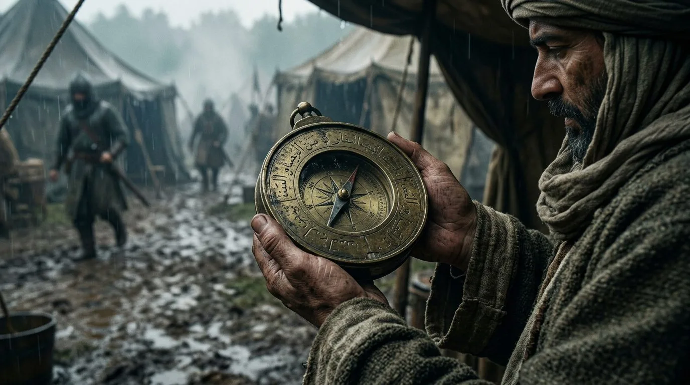
Arabic Qibla Compass
Islamic instrument makers developed specialized qibla compasses around 1200 CE to help travelers locate Mecca‘s direction for prayer, but Arab sailors quickly adapted these magnetic devices for maritime navigation across the Indian Ocean and Mediterranean Sea. These brass instruments combined a magnetic needle with astronomical calculation tables and city latitude lists engraved directly onto the compass face, effectively functioning as multi-tool navigation computers. The qibla compass’s unique advantage was its pre-calculated reference points for dozens of major ports—sailors could determine their position relative to known cities without complex celestial calculations. This Islamic innovation spread to European sailors through Venetian merchants by the late 13th century, directly contributing to the navigation revolution that enabled the Age of Exploration by making magnetic direction-finding practical for Mediterranean vessels navigating between 300+ trading ports from Gibraltar to Constantinople.
Source: britannica.com
Did You Know?
Did you know the magnetic compass—considered China’s greatest navigation invention—was actually used for fortune-telling and feng shui for over 1,000 years before anyone thought to put it on a ship? Even more surprising: Polynesian navigators successfully settled an area larger than Russia without using a single magnetic or celestial instrument, relying instead on memorized wave patterns their European contemporaries couldn’t even perceive. These navigation tools didn’t just enable empires—they reveal how different cultures solved identical problems through radically different ways of understanding the natural world.